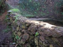
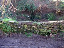
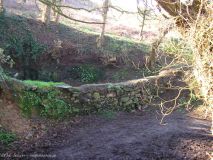
Lavoir de Troreon
- Détails
- Catégorie parente: Lannilis
- Catégorie : Fontaines & lavoirs de Lannilis
Coordonnées géographiques : 48°35'22.62"N 4°31'57.34"O
Situer ce lavoir dans Google Earth (cliquer)
Situé à proximité du "Moulin de l'enfer".
Etat en 2007 :
D'après les voisins de TROREON c'était effectivement un lavoir, tout au moins dans les derniers temps, mais compte tenu de son architecture je reste persuadé que lors de sa construction il était dédié au rouissage du lin.
D'ailleurs, pour s'en servir en lavoir ils n'utilisaient pas le "quai à charettes" sur le bord du chemin, mais amenaient à la brouette le linge dans le champ au-dessus et le descendaient et remontaient avec des cordes.
J'ai appris cela par Yvon PRONOST qui a toujours habité à Troréon.
(source : François LE GAC)
Etat en 2008 : (photos Eric Salaün)


